
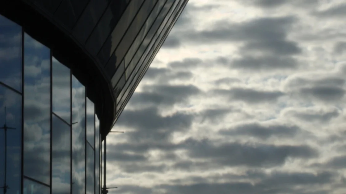
Liverpool Braces for Prolonged Thunderstorm Warning
The Met Office has extended its yellow weather warning for thunderstorms across Merseyside and other parts of northern England, with heavy showers and hail expected to persist through Thursday morning. Originally set to expire at 10am, the alert now remains in force until 1pm on Thursday, August 20, 2026, according to the latest update from the UK forecaster.
Residents in Liverpool woke to a wet and gloomy start as thunderstorms rolled in overnight, bringing 15-20mm of rain per hour in some areas and up to 40mm over several hours. The warning covers the North West, North East, East Midlands, Wales, and Yorkshire and Humber, with Merseyside firmly in the affected zone. The Met Office cautioned that "heavy showers and some thunderstorms are expected to continue across northern England and north Wales this morning before easing this afternoon," alongside additional hazards of lightning and hail.
Key Details for Thursday, August 20
For Liverpool specifically, the day is forecast to bring light showers with a maximum temperature of 20°C and a minimum of 12°C. Humidity levels are high at 87%, and winds could gust up to 45 kph, adding a chill to the damp conditions. There is a 50% chance of rain, so carrying an umbrella and wearing waterproof footwear is strongly advised. The extended warning means travel disruption is possible, particularly on roads and railways, due to spray, standing water, and potential flash flooding.
The Met Office's advice urges residents to check road conditions and public transport timetables before heading out, and to prepare an emergency flood kit if their property is at risk of flooding. Short-term power losses and delays to train services are also possible, according to the warning.
Why This Weather Matters for Liverpool
The extended thunderstorm warning comes on the heels of a heatwave weather forecast that saw southern parts of the UK bask in record heat while the north, including Liverpool, experienced cooler, unsettled conditions. This stark contrast has made the current weather pattern particularly notable, as residents navigate sudden downpours after a relatively dry start to the week.
The initial yellow warning was issued on Wednesday evening, August 19, for a 15-hour period, and its extension highlights the unpredictable nature of the late-summer weather. The Met Office had originally warned of "heavy rain and thunderstorms" leading to potential travel disruption and flash flooding. By Thursday morning, forecasters confirmed that the worst of the storms had not yet passed, prompting the extension.
For Liverpool, a city accustomed to maritime weather, the impact is more than just inconvenience. The high humidity and persistent showers could affect outdoor events, construction work, and daily commutes. Local businesses and residents have been advised to stay vigilant, especially those in low-lying areas prone to surface water flooding. The weather also coincides with a busy period for schools and families preparing for the end of summer, making the disruption particularly unwelcome.
Looking Ahead: Mixed Conditions and a Slow Recovery
While the immediate threat of thunderstorms is expected to ease by Thursday afternoon, the rest of the week will remain unsettled. Friday, August 21, will see similar light showers with a high of 19°C and a low of 11°C. The weekend offers a slight reprieve, with Saturday and Sunday both forecast to have sunny intervals and highs of 20°C and 22°C respectively, with lows around 11°C.
This improvement, however, may be short-lived. By Wednesday, August 26, the Met Office predicts a return to light showers with a high of 23°C. The pattern reflects a broader trend of unpredictable late-summer weather across the UK, as climate change contributes to more volatile atmospheric conditions. Such volatility has been seen worldwide, as noted in recent global weather roundups, but for Liverpool, the immediate concern remains the potential for localized flooding and travel chaos.
Broader Implications for the Region
The extended warning underscores the importance of heeding Met Office alerts, especially as extreme weather events become more frequent. For residents, this means staying informed through official channels and planning ahead. For local authorities, it highlights the need for robust flood defenses and responsive infrastructure.
As the city looks ahead to the weekend, there is cautious optimism for clearer skies. But until then, Liverpool's weather will remain a key talking point, reminding everyone that even in summer, the elements can turn on a dime.
Comments