
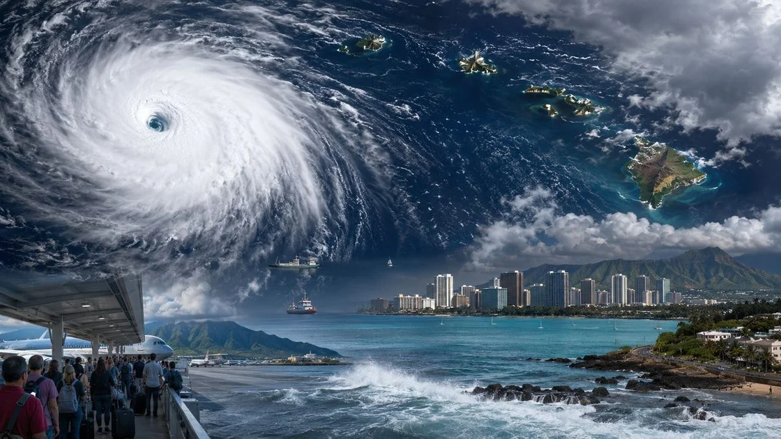
Hurricane Lowell Rapidly Intensifies, Hawaii Braces for Impacts
Hurricane Lowell has undergone explosive rapid intensification in the central Pacific, jumping from a tropical storm to a powerful Category 4 hurricane in just 24 hours. As of Tuesday night, the storm was centered approximately 470 miles south-southeast of Hilo, Hawaii, with maximum sustained winds of 145 mph and higher gusts, according to the Central Pacific Hurricane Center (CPHC). The storm is moving west at 12 mph and is expected to remain a major hurricane as it passes south of the Hawaiian Islands through Friday.
Forecasters warn that while the current track keeps the core offshore, Hawaii residents should closely monitor the storm's progress. The CPHC noted that an upper-level trough approaching by the weekend could weaken the steering ridge, causing Lowell to slow down and turn sharply toward the northwest or north—potentially bringing the storm much closer to the islands than initially projected. Even without a direct hit, the state is already facing significant impacts, including high surf from the south, breezy tradewinds with gusts up to 55 mph, and numerous trade showers, especially for windward and mauka areas.
An Unprecedented Pacific Storm Outbreak
Lowell's rapid intensification is part of a broader, hyperactive Pacific hurricane season fueled by a developing historically strong El Niño. Sea surface temperatures across the eastern and central Pacific are running 1 to 3 degrees Celsius above normal, providing ample energy for storms to strengthen at astonishing rates. Just 1,400 miles to the east, Hurricane Karina has also reached Category 4 intensity with 145 mph winds, and meteorologists are watching whether both storms could briefly reach Category 5 status—a feat that has never been recorded simultaneously in the eastern Pacific basin.
Behind them, newly formed Tropical Storm Marie is strengthening off the coast of Mexico and is expected to become a hurricane, adding to the unprecedented traffic in the basin. The National Hurricane Center is also monitoring another area of low potential development near the southwestern coast of Mexico. This clustering of intense storms highlights the exceptional nature of the 2026 Pacific hurricane season, which is already drawing comparisons to historic El Niño years.
Context: A State on Alert, But Not Yet in the Crosshairs
For Hawaii, the immediate threat from Lowell is not a landfall but the peripheral effects of a powerful hurricane passing just a few hundred miles to the south. The CPHC's five-day forecast map shows the storm tracking west-southwest of the islands, with the center remaining at least 300 miles offshore. However, the margin for error is slim, and a slight shift in the track could bring tropical storm conditions to the Big Island and Maui County.
“Interests in the Hawaiian Islands should continue to closely monitor the progress of Hurricane Lowell,” CPHC forecasters said in their Tuesday evening advisory. The uncertainty is particularly high for the weekend, when the storm is expected to slow down and potentially turn northward. An earlier turn than currently predicted could bring more severe conditions, including destructive winds and heavy rainfall, to the state.
Residents are advised to prepare for extended periods of high surf, coastal erosion, and strong gusty winds even if the center remains offshore. The state's emergency management agencies have begun coordinating with county officials, though no evacuation orders have been issued as of this writing. The Hawaiian Islands are no strangers to hurricane threats, but the potential for a sharp northward turn after days of westward tracking is a reminder of how quickly forecasts can change.
The Role of El Niño and a Warming Ocean
The current Pacific activity is being driven by a powerful El Niño event that forecasters have described as potentially the strongest in recorded history. El Niño shifts atmospheric circulation patterns, reducing wind shear over the eastern and central Pacific, which allows hurricanes to form and intensify more easily. Additionally, ocean temperatures are running well above average, providing extra fuel for storms.
Lowell's intensification—from 70 mph to 145 mph in 24 hours—is a textbook example of rapid intensification, defined as an increase in maximum sustained winds of at least 35 mph in 24 hours. Lowell more than doubled that threshold. “Satellite intensity estimates are still trying to catch up with the pace of Lowell’s strengthening,” the National Hurricane Center noted, calling the development “characteristic of a rapidly intensifying cyclone.”
This trend is not unique to 2026. Climate scientists have documented an increase in the frequency and intensity of rapid intensification events globally, particularly in warmer ocean basins. Warmer sea surface temperatures provide more energy for storms, and a warmer atmosphere holds more moisture, which can lead to heavier rainfall and more destructive flooding. The current El Niño is superimposing natural variability on this long-term warming trend, creating conditions ripe for record-breaking storms.
What This Means for Hawaii and the Pacific
The potential for Lowell to turn northward and affect Hawaii will be the primary focus over the next several days. Even if the storm remains at sea, the high surf and strong winds will impact coastal communities, shipping, and tourism. The state's vulnerability to hurricanes is well-documented, but the broader implications of this season's hyperactive Pacific basin extend beyond Hawaii.
If both Lowell and Karina were to reach Category 5 intensity simultaneously, it would set a record for the eastern Pacific, a basin that has seen its share of powerful storms but never two Category 5s at the same time. While Karina is expected to weaken over open water, Lowell's path toward Hawaii remains the most consequential track.
The active Pacific is also a reminder that hurricane seasons are becoming more volatile, with storms capable of explosive changes in intensity. For residents of Hawaii, the watchword is vigilance. As the CPHC advises, it only takes one storm to cause catastrophic damage, and forecasters are urging everyone to have a plan in place.
Broader Trends: A New Era of Rapid Intensification
This year's Pacific activity fits into a broader pattern of rapid intensification that has been observed in many ocean basins. From the Atlantic to the western Pacific, storms are more frequently undergoing explosive strengthening, catching forecasters and communities off guard. The ability to predict these events remains limited, even with advanced computer models. Warmer oceans are providing more energy, and the atmosphere's increased moisture capacity is making storms wetter and more dangerous.
For Hawaii, which relies heavily on tourism and has a fragile infrastructure, the economic and social stakes are high. A direct hit from a major hurricane could cause billions of dollars in damage and disrupt life on the islands for months. The 1992 Hurricane Iniki, which struck Kauai as a Category 4, remains a benchmark for the state's worst-case scenario.
While Lowell's current path appears to spare the islands a direct hit, the uncertainty in the weekend forecast leaves room for a scenario in which Hawaii is not so lucky. As the Pacific hurricane season reaches its climatological peak, Hawaii and other Pacific islands will be watching the skies with renewed attention.
Preparing for the Weekend Uncertainty
Emergency managers across the state are urging residents to prepare for the possibility of tropical storm conditions, despite the current offshore track. “It’s a good time to review your hurricane plan, check your emergency supplies, and stay informed,” said a spokesperson for the Hawaii Emergency Management Agency. The agency emphasized that high surf and wind gusts can cause significant impacts even if the storm's center does not make landfall.
The CPHC is expected to issue more detailed advisories as the storm approaches, and a hurricane watch could be issued for portions of the island chain if the forecast track shifts northward. In the meantime, mariners are advised to avoid the open waters south of the islands, where seas could reach 20 to 30 feet.
For the latest updates, visit the Central Pacific Hurricane Center's website and local news outlets. The state urges everyone to heed official warnings and not rely solely on forecast cones, which represent the average track error and do not show the full range of possible impacts.
A Season of Extremes
This active Pacific season is a stark reminder of what a strong El Niño can bring. Forecasters have already seen multiple Category 4 and Category 5 storms, and the peak of the season is still weeks away. The record-breaking nature of this El Niño has prompted comparisons to the 1997-1998 event, which was one of the most destructive on record, but early indicators suggest this one could be even stronger.
For scientists, the 2026 season provides a unique opportunity to study how hurricanes behave under extreme conditions. For residents of Hawaii and other vulnerable coastal areas, it is a reminder of the need to adapt to a changing climate. As the ocean continues to warm, storms like Lowell may become more common, and the margin for error in forecasting will only shrink.
The immediate task for Hawaii is to weather Lowell's passage with minimal impact. But the broader implications of this hurricane season will be felt for years to come. In an era of rapid intensification, every storm has the potential to defy expectations, and every coastline must be prepared for the worst.
Comments